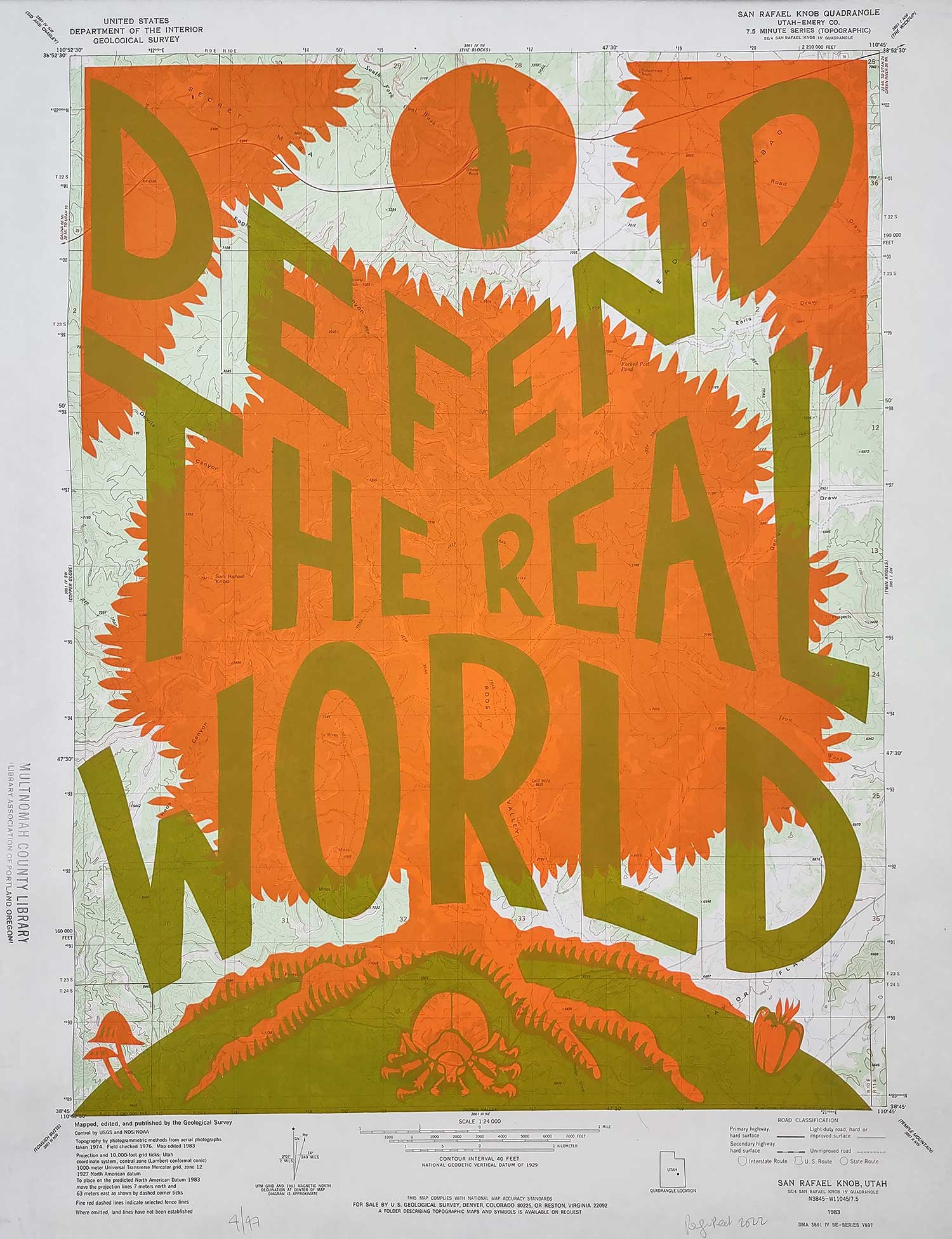
Inspired by trying to get my priorities straight. This is a two-color screenprint from hand-cut rubylith layers, printed on old maps I salvaged from the local public library when they went digital.
Note- these are actual maps that were in public use, so some of them have dinged edges, bent corners, and creases. They date from between 1950-1994, and they've seen some use, so please bear that in mind when purchasing!
